Functions and Objectives
Survey Files and Reference Documents
- Preserve original surveys and record documents
- Create and maintain digital archive of all originals
- Improve access to land record information
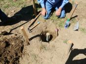
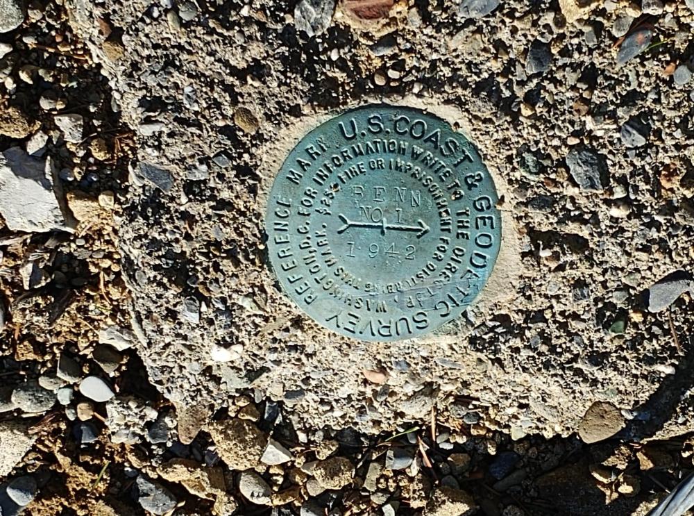
Monumentation
- Perpetuate and restore government land corners as regulated by the Oregon Revised Statutes
- Participate in the Public Land Corner Preservation Program
- These corners form the basis of the land identification system used in deeds and boundary control of all property

Subdivision and Plat Checking
- Review plats and subdivisions for accuracy and content according to guidelines established by the Oregon Revised Statutes and local ordinances
- Employ computerized drafting techniques to assure consistency and precision to within fixed tolerances
- Field checking of lot corner pin placement