General Information and History
The Coos County Forest covers approximately 15,000 acres. The Forest is located in the westerly portion of Coos County. The Beaver Hill/Seven Devils unit is a 12,000 acre block located about 8 miles south of Coos Bay. The Daniels Creek/Blue Ridge unit consists of 3,000 acres in two blocks located approximately 12 miles southeast of Coos Bay.
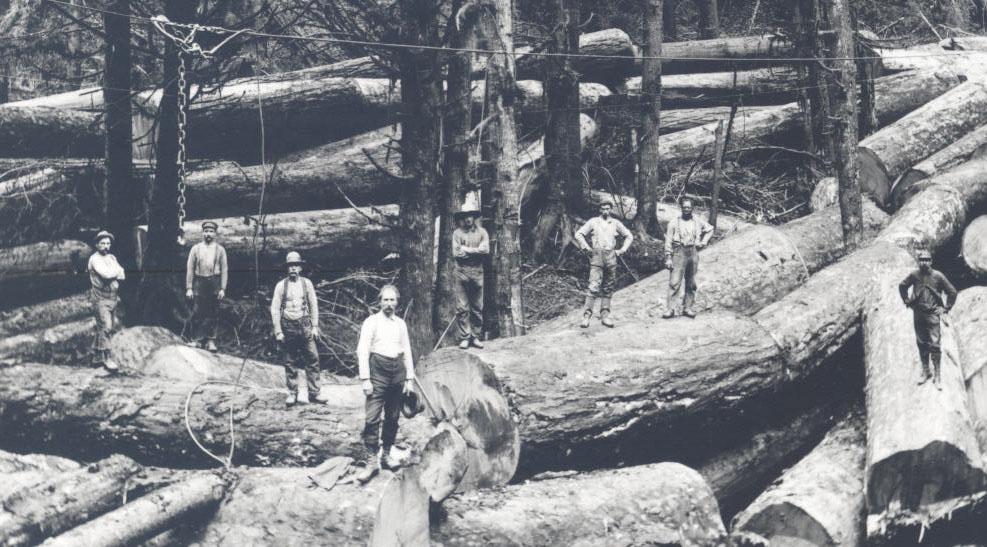
The County acquired these lands through tax foreclosure, exchanges and acquisitions, beginning in 1936 – present. These lands had been privately owned and were originally logged by railroad system during the period 1900-1935. The Bandon Fire (1936) burned over about half of what is now the Beaver Hill/Seven Devils unit. Most of these lands were used for sheep and cattle grazing from about 1936 until about 1950. Large open areas still remaining from the grazing years were planted by school kids, Boy Scouts, welfare workers etc. in the late 1950’s and early 1960’s. The Coos County Forest is managed to produce revenue from the sale of timber on a sustained yield basis. Sale of special forest products permits and mineral leases produce additional revenue. The County Forest is open to hunting and other public uses unless fire restrictions are in effect. Camping and/or overnight parking are not permitted at any time.