Monday through Thursday
Community Development
7:30 AM to 12 PM and 1 PM to 5:00 PM
60 E. Second Street, Coquille, Oregon
541-396-7770
541-266-1098 (For scheduling of Inspections only)
Mailing Address:
250 N. Baxter, Coquille, OR 97423
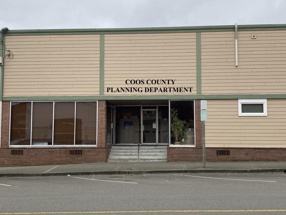
We are located at 60 E. Second St. Coquille OR 97423
If you have land use questions for property located within the incorporated city boundary you will need to contact the appropriate city for assistance. Click this link to the Assessor's Page for a list of Cities.
The menus located on this page contain applications, application forms, land development ordinance, comprehensive plan and maps to help answer any of your questions. If you need assistance please click on ask the planner or call 541-396-7770.
Community Development is open during regular business hours. Our expert permit specialists (in planning and building) are available for walk-in services Monday through Thursday from 7:30 am to 12:00 pm and 1:00 pm to 5:00 pm unless otherwise posted for holidays or training.
During our office renovation, if you need to see specific staff members, please submit an appointment form to ensure availability of time and space for your needs. If you require access to ADA entrances, please call us or email, and we will make arrangements to ensure clear entrance during construction. Thank you for your patience during this time. Please contact the department for further information. Appointment Form
Fees - Fees are found under payment information and helpful links below. Fees are subject to change on January 1 and July 1 of each calendar year.
Information about how to file a New 49 Claim
Noxious weeds are a danger to our environment and the economy. These introduced species cost loss revenue and land for agricultural production, environmental degradation and added maintenance costs. Once invasive plants spread to natural areas, they harm native plants and wildlife and can be impossible to eradicate.
For more information about Coos County's Noxious Weed Control Programs and Information please click here.
Coos County, City of Coos Bay and City of North Bend have been working on updates to the Coos Bay Estuary Management Plan. The County file number assigned to this project is AM-22-005.
Click the Coos Bay Estuary Management Plan to view the maps.
The Coos County Planning Department supports the community by promoting orderly growth, while protecting and enhancing the environment and, conserving and stabilizing the value of property. The Planning Department is an agency of County government that provides information and assistance to the public in understanding the land use process as administered through the Coos County Zoning and Land Development Ordinance and the Coos County Comprehensive Plan. The planning program is managed under the guidance of the Board of Commissioners with the advice of the Planning Commission.
The history of land use in Oregon is characterized by a unique and influential approach to planning and development. The state's land use system is primarily guided by the Oregon Land Use Planning Program, which was established in the 1970s in response to growing concerns about uncontrolled growth, urban sprawl, and the loss of agricultural and natural lands.
Here's a brief overview of the history of land use in Oregon:
Senate Bill 100 (1973): The cornerstone of Oregon's land use planning program is Senate Bill 100, which was passed in 1973. It introduced comprehensive land use planning at the state level and created the framework for addressing land use issues. Senate Bill 100 established a statewide planning goals system and required every city and county to develop a comprehensive plan consistent with these goals.
Statewide Planning Goals: The statewide planning goals, developed under Senate Bill 100, encompass a broad range of topics, including urban growth boundaries, transportation, natural resources, agriculture, forest lands, historic preservation, economic development, and more. There are currently 19 goals that provide guidance and standards for local planning and development decisions.
Land Conservation and Development Commission (LCDC): The LCDC was created as the governing body responsible for overseeing and implementing the state's land use planning program. The commission is composed of citizen members appointed by the governor and is responsible for adopting and amending the statewide planning goals, reviewing local plans, and resolving land use disputes.
Urban Growth Boundaries (UGBs): One of the key elements of Oregon's land use system is the establishment of urban growth boundaries. UGBs are designed to contain urban expansion within a defined area and promote compact and efficient development. They aim to prevent urban sprawl and protect agricultural and natural lands outside the boundaries.
Local Comprehensive Plans: Senate Bill 100 required all cities and counties in Oregon to develop comprehensive plans that are consistent with the statewide planning goals. These plans outline the long-term vision for land use and development within each jurisdiction. They include land use maps, policies, and regulations that guide decisions on zoning, transportation, housing, environmental protection, and other aspects of development.
Land Use Planning Process: Oregon's land use planning process involves public participation, coordination with state agencies, and periodic plan reviews. It requires cities and counties to engage the public and stakeholders in the planning process, provide opportunities for input and feedback, and hold public hearings on land use decisions. The process also includes coordination with state agencies, such as the Department of Land Conservation and Development (DLCD), to ensure compliance with the statewide goals.
Land Use Disputes: The Oregon land use system has a mechanism for resolving disputes related to land use decisions. The Land Use Board of Appeals (LUBA) was established to hear appeals of local land use decisions and provide a forum for resolving conflicts. LUBA decisions can be further appealed to the Oregon Court of Appeals and, in some cases, the Oregon Supreme Court.
Over the years, Oregon's land use planning program has been subject to revisions and updates to address changing circumstances and evolving needs. The state's approach to land use has influenced planning practices in other states and has been recognized for its focus on preserving agricultural and natural lands, managing growth, and fostering livable communities.